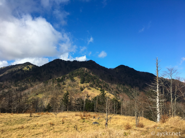
In November 2016, I walked Kasatoriyama of Tama River source point.
It seems to be an area called Oku-Chichibu(Kanto), but I will access it from the side of Enzan, Koshu-City, Yamanashi Prefecture. I get up early and leave Shizuoka while it is still dark.
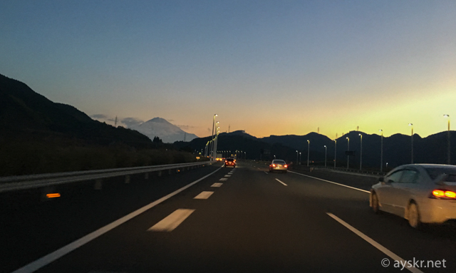
From Shizuoka, it takes about 3 hours from theShin-Shizuoka gate of Shin-Tomei highway and National Route 52 to the Sakubadaira of the mountain entrance.
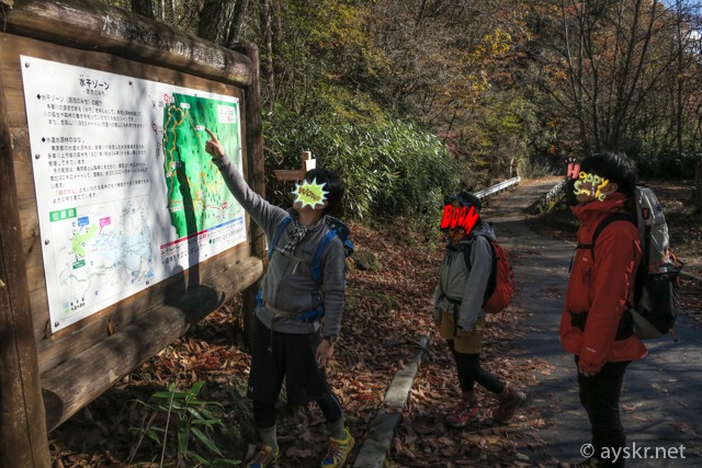
Sakubadaira climbing trail head
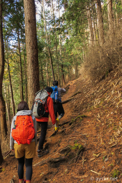
This time is a group with friends living in Matsue who are on a business trip to Kanto.
Kasatori-yama
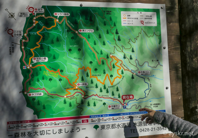
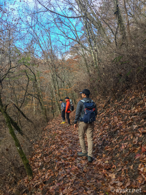
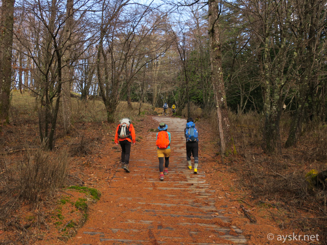
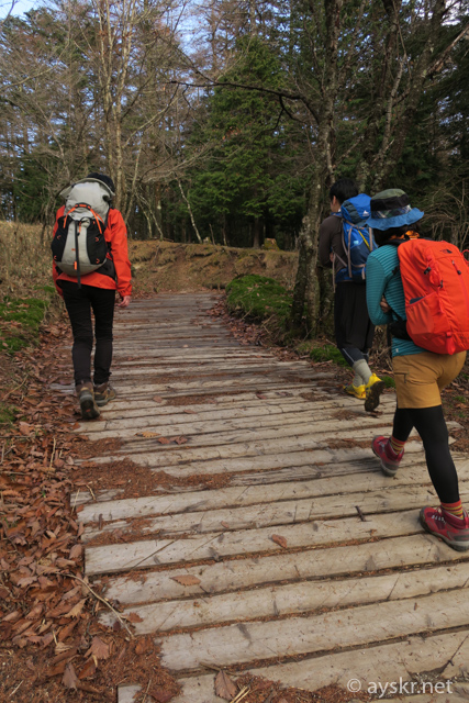
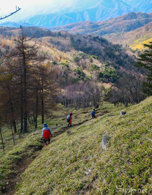
From the Sakubadaira of the mountain entrance, we chose the root of the Yabusawa Pass – Kasatori Hut – Watershed – the summit.
Kasatoriyama
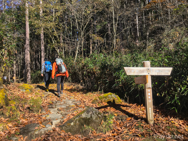
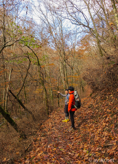
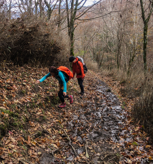
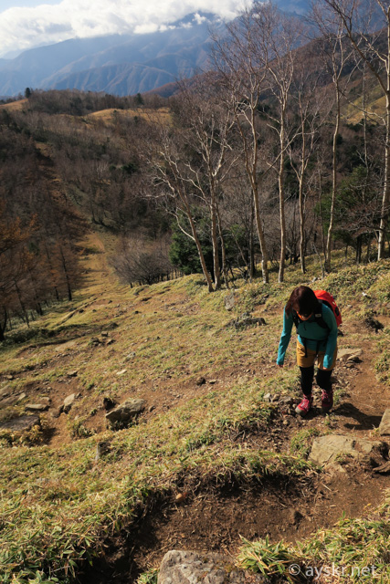
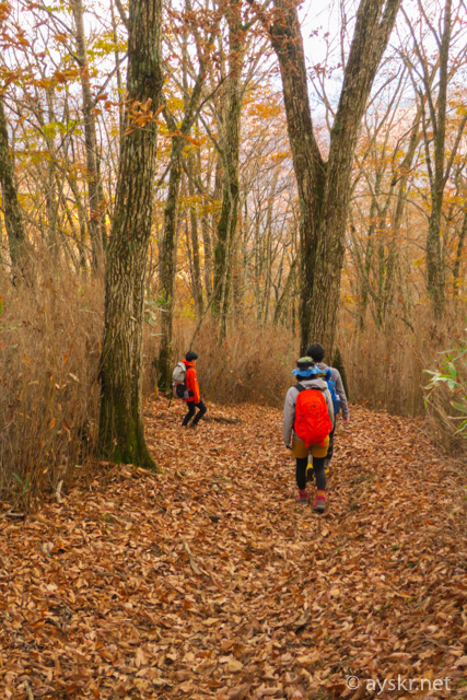
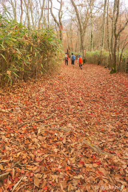
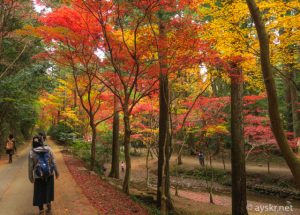
We are leaving the trail where the fallen leaves.
Kasatoriyama
Kasatoriyama
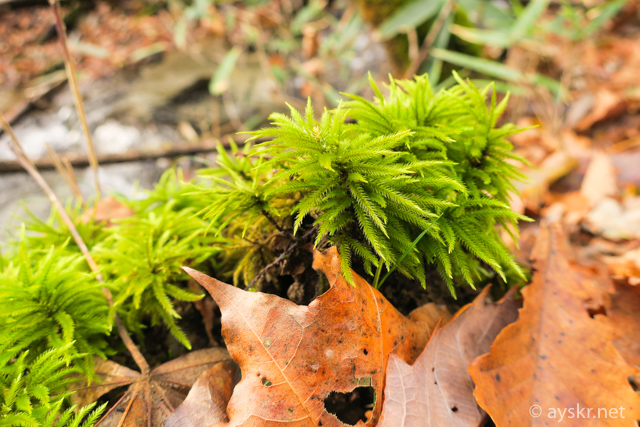
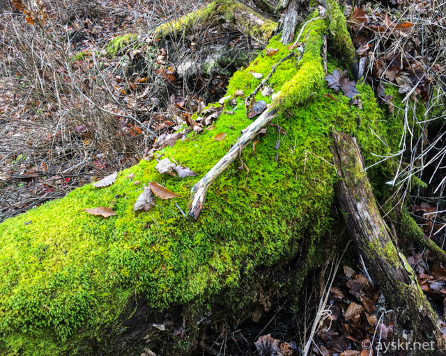
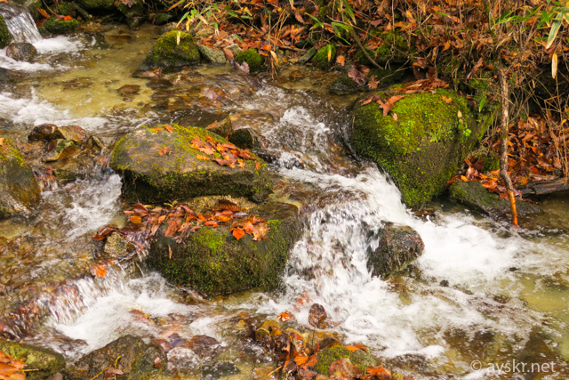
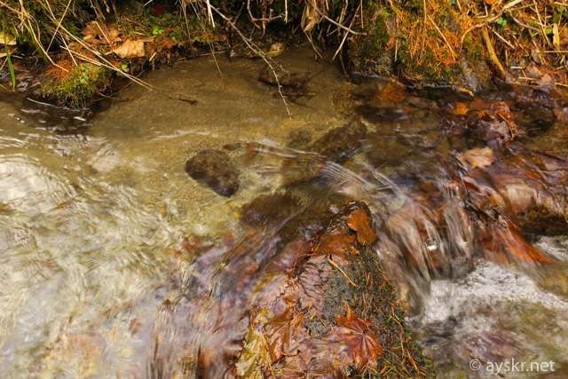
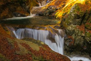
As expected it is only Tama River source flow, there is plenty of water. The mossy trees and autumn leaves is wonderful.

Kasatoriyama
Kasatoriyama
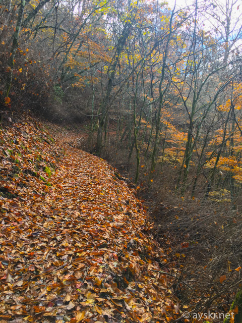
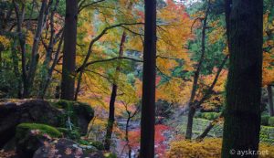
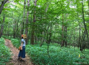
It’s a fluffy trail. We climbed in the middle of November, but as soon as we arrived a little earlier, autumn leaves would have been beautiful about the trees.
Kasatoriyama
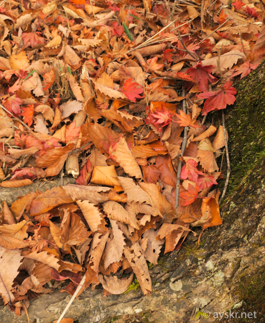
However, the atmosphere of late autumn is also nice.
Kasatoriyama
Kasatoriyama
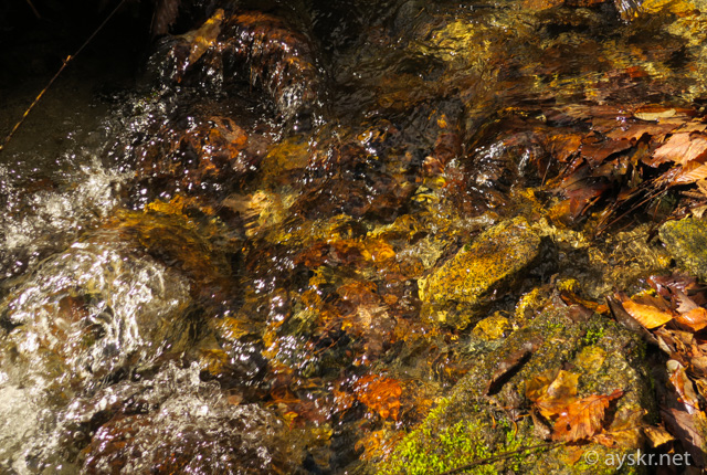
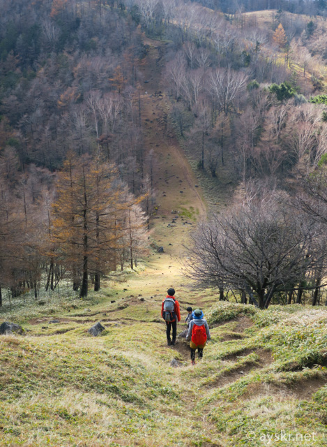
Trails of source flow
The trail goes along the waters and crosses and crosses the beautiful rainfall here and there. There are plenty of places where you can touch the water, it will definitely go up as you feel the origin flow.

Kasatoriyama
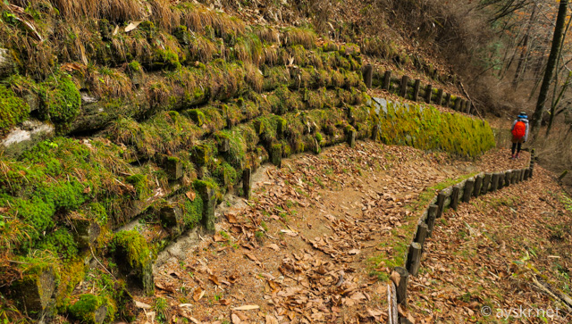
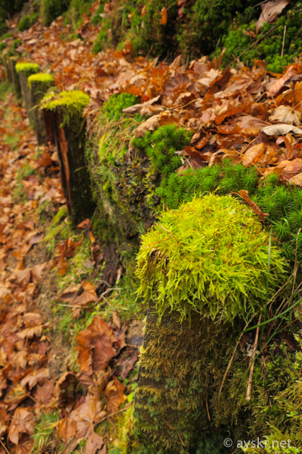
In places with a lot of water the moss is fluffy and it is fine.
Kasatoriyama
Kasatoriyama
It is a beautiful flow.
Kasatoriyama
Kasatoriyama
There is also a place where the scaffold is bad, it may be safe to have trekking poles.
Kasatoriyama
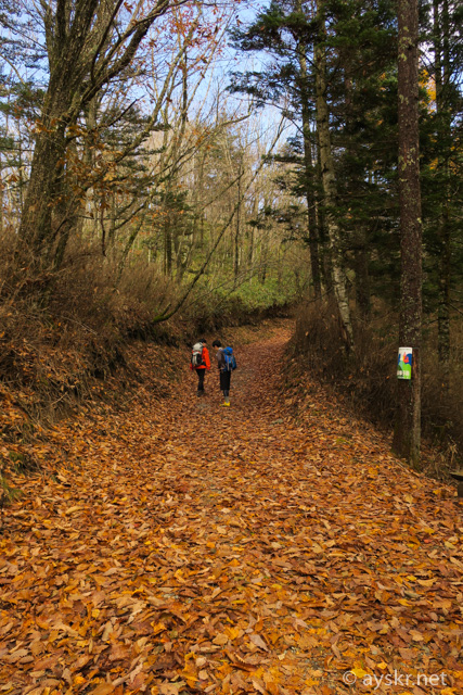
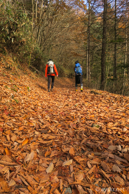
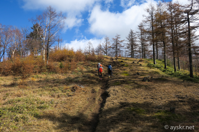
Gentle climb
I will advance the trail of leaves of carpet again from the Yabusawa Pass. With a gentle climb, I can walk fine.
Kasatoriyama
Kasatoriyama
I arrived to the Kasatori hut without difficulty. Firewood stove smoke is a pretty .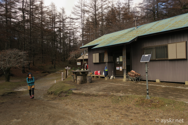
KasatoriyamaWe were talking about this time with a light hiking degree ,,,,,,,,,
Kasatoriyama
Kasatoriyama
When I walked from the Kasatori hut through the wood road for about 20 minutes I went to the place opened.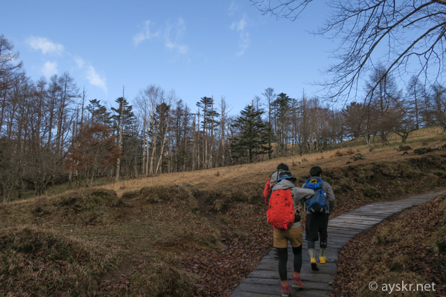
Kasatoriyama
Kasatoriyama
You can see a small hill at the end of the trail. I thought that “it is already the top of the mountain??”, this was a watershed.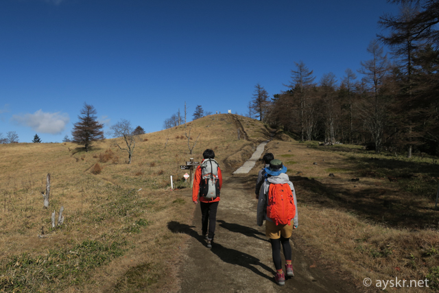
KasatoriyamaThe place like this little hill is a diving of three famous rivers. Arakawa east, Fujikawa west, Tamagawa south. It is an important point to divide the destination of long trip of rainwater.
KasatoriyamaDividing ridge 360
Post from RICOH THETA. #theta360 – Spherical Image – RICOH THETA
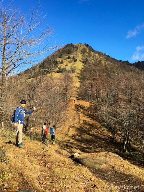
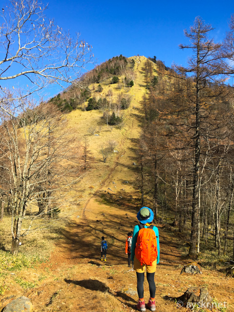
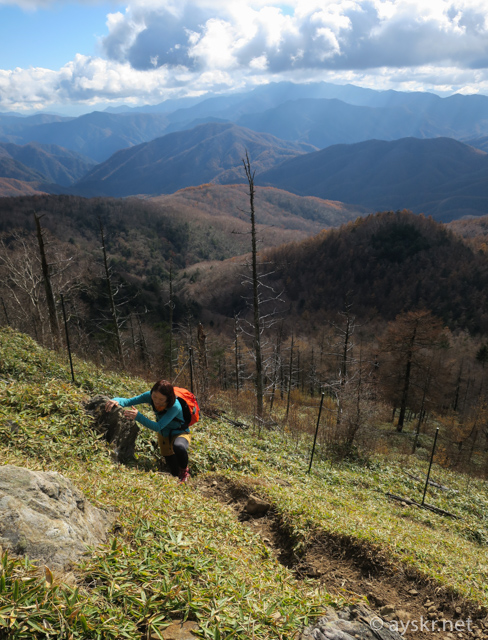
Ultra rapid rise at the end
As I crossed the divide ridge further, the mountain top of Kasatoriyama came face to face.
Kasatoriyama
Kasatoriyama 360
Post from RICOH THETA. #theta360 – Spherical Image – RICOH THETA
This. An easy-to-understand mountain peak protruding with “Pyooooon”. And one trail extends straight to the top of the mountain, this is also a clear quick climb.
Kasatoriyama
It is a mountain of strategy (?) that makes me think that it is loose hiking halfway and earns altitude at the last ultra rise. I will look up like “Pokaaan”.
Kasatoriyama
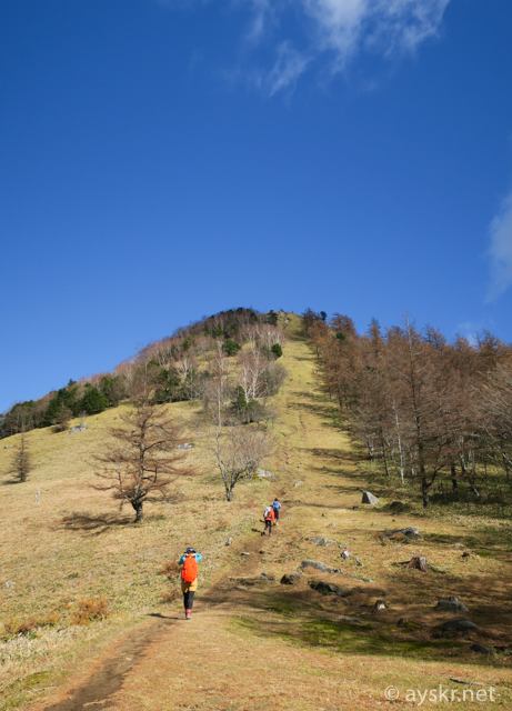
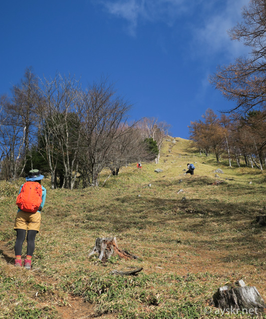
As you can see the goal, is it easy to feel? Attack starts toward the summit of the mountain.
Kasatoriyama
Terrible gradient ,,,
Kasatoriyama
It is like a big wall if you look close. This is hard!
Kasatoriyama
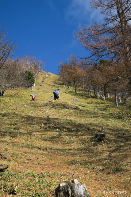
I am afraid to see the bottom ,,,
Kasatoriyama

Kasatoriyama
There were places like climbing with both hands.
Kasatoriyama
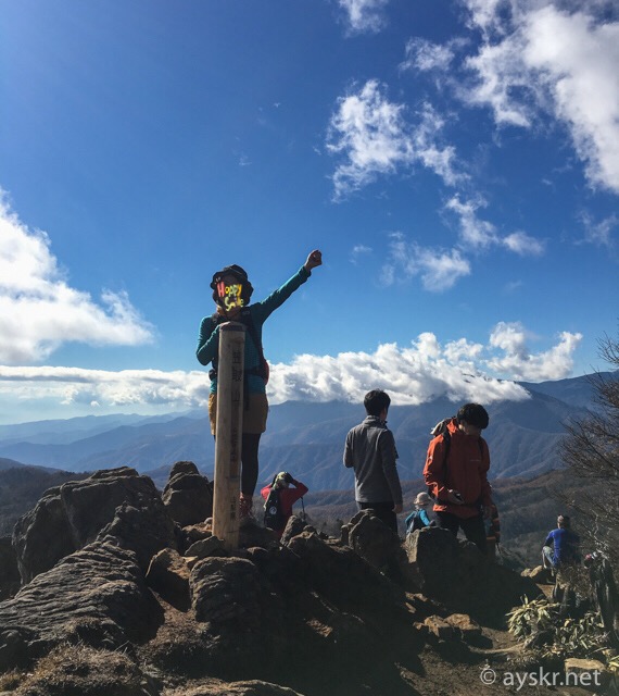
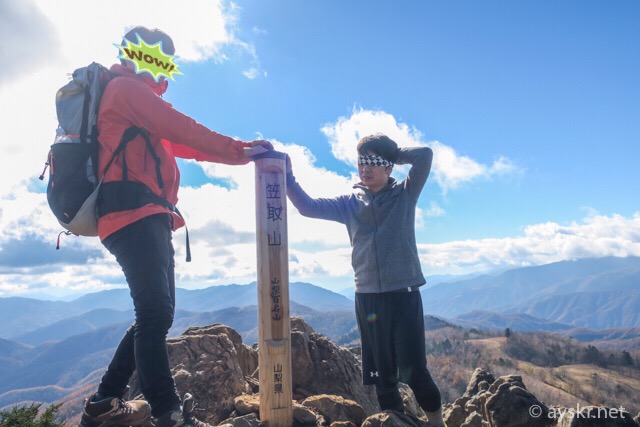
Mt. Kasatori named “100 nice Mountains of Yamanashi”
A loose feeling on the way is blown away, sweating, it’s getting dirty, I finally got through my breath and I reached the top of the mountain.
Kasatoriyama
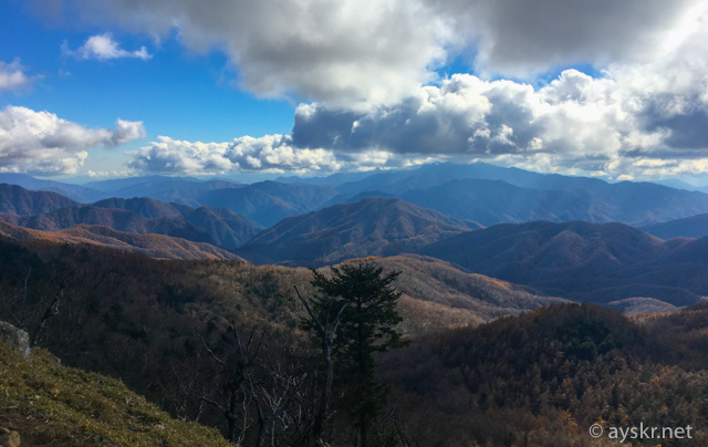
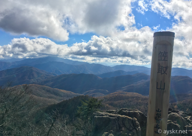
Very nice view with no tall trees on the summit. You can see the nearby Kobu shigatake.

Kasatoriyama
Clouds and the surrounding mountains are beautiful.

We tookIt a commemorative photo in front of the 100 nice mountains of Yamanashi sign.
Kasatoriyama
The altitude is 1953 m, the grade is “intermediate”. I feel that the degree of difficulty is being condensed at the last climb ,,,
Kasatoriyama
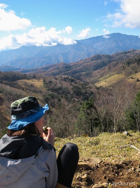
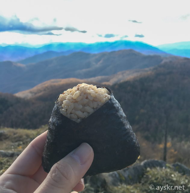
We have lunch on the summit. It is an amazing view where you sit.
Kasatoriyama
Kasatoriyama
The summit of Kasatoriyama 360
Post from RICOH THETA. #theta360 – Spherical Image – RICOH THETA
Downhill will return the road that came up to the Kasatori hut.
Kasatoriyama
Since it was a sudden climb, naturally it is a scary steeply descent, …, we carefully switch back.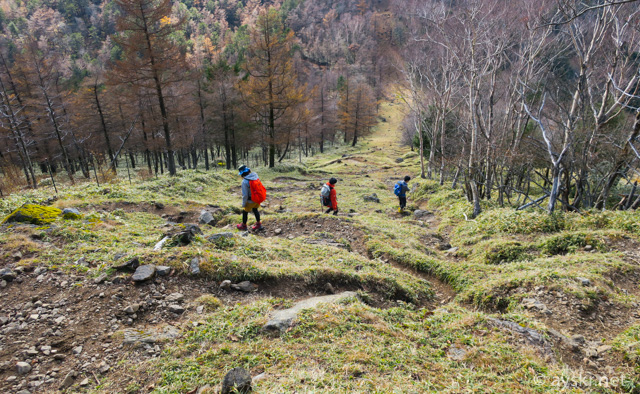 Kasatoriyama
If you slide your feet, you will fall down to the bottom at once.
Down route is that named Ikyuuzaka that is diverging from the Kasatori hut. Mossy old soil clothing is giving a good atmosphere.
Kasatoriyama
Cute moss.
Kasatoriyama
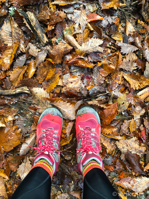
I stepped on the carpet of the fallen leaves with crispness. I feel like being cushioned to the feet.
Kasatoriyama
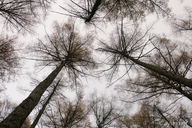
Looking at the top, the leaves fall and the tree branches like capillaries, …
I enjoyed down route with a beautiful walking path.
Kasatoriyama
[Today’s memo]
Kasatoriyama is one of Yamanashi Hyakumeizan(100 neice mountains of Yamanashi) . The sound of the cliff of the mountain path was refreshing, it was a good trail reminiscent of the origin flow.
※ It seems to be one of Oku-Chichibu as a region, but since access is from Yamanashi it is “Yamanashi” in the article title.
Related articles
On the next day I walked around the Nishizawa-Keikoku(Valley), a sight of autumn leaves.
Traveling by the sea is also nice.
It is a record that walked Europe’s top hiking route.

Comments